Popular in your industry


Top categories


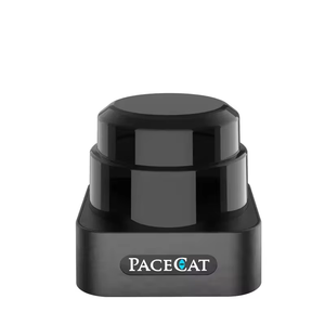
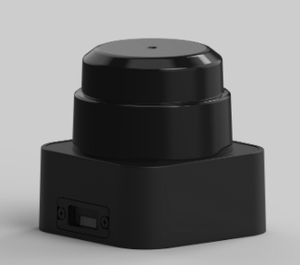
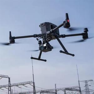
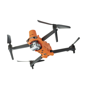
About uav lidar
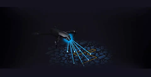
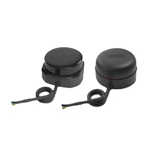
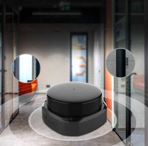
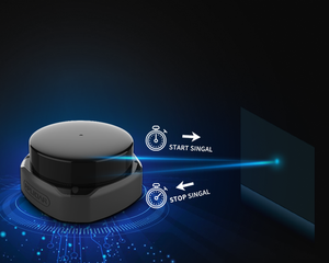
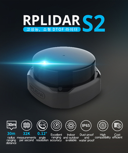
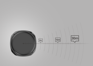
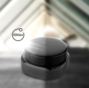
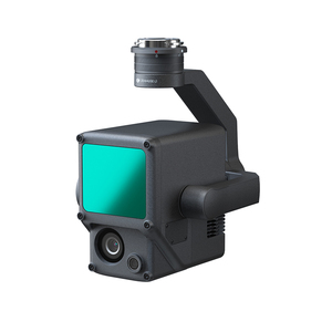
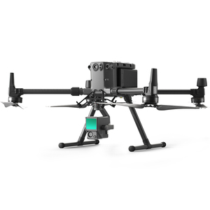
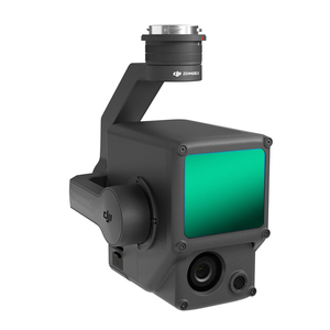
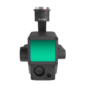
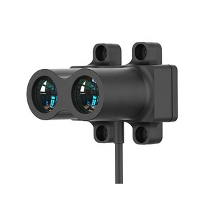
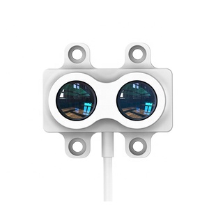
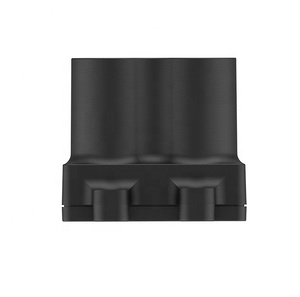
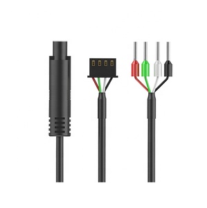
UAV LiDAR refers to the integration of the Light Detection and Ranging (LiDAR) technology with unmanned aerial vehicles (UAVs) or drones. This combination enables UAVs to collect highly accurate and detailed geospatial data. The LiDAR sensor for drones works by emitting laser pulses from the UAV to the ground, and sensors then detect the reflected light. By calculating the time taken for the laser pulses to return, LiDAR systems can create precise 3D models and maps of the surveyed area. The UAV’s LiDAR system consists of three main components: a laser scanner, an Inertial Measurement Unit (IMU), and a Global Navigation Satellite System (GNSS) receiver. The laser scanner emits and measures laser pulses, the IMU tracks the drone’s orientation and motion, and the GNSS receiver provides the UAV’s precise location.
Applications of UAV LiDAR
UAV LiDAR technology is widely used in various industries for applications that require highly accurate and detailed geospatial data. In forestry, it can be used to create detailed 3D models of forests, allowing for precise tree inventory, habitat assessment, and forest management. Moreover, UAV LiDAR is utilized in agriculture for terrain mapping, crop monitoring, and yield prediction. In urban planning and infrastructure development, it supports creating detailed topographic maps, aiding in road design, and monitoring of critical infrastructure.
Advantages of UAV LiDAR
UAV LiDAR offers several advantages over traditional data collection methods. Firstly, it allows for rapid data acquisition, enabling the collection of large amounts of high-resolution data in a short amount of time. Secondly, it provides high accuracy and precision in the generated 3D models and maps. Moreover, UAV LiDAR technology can be used in hard-to-reach or hazardous areas, reducing the need for manual data collection. Furthermore, the technology is versatile and can be applied across various industries, making it a cost-effective and efficient solution for geospatial data collection.
UAV LiDAR vs. Traditional LiDAR
Compared to traditional LiDAR systems, UAV LiDAR offers unique advantages. Traditional LiDAR systems are typically mounted on manned aircraft or ground vehicles, limiting their accessibility and flexibility in data collection. UAV LiDAR mapping, on the other hand, leverages the agility and maneuverability of drones to access hard-to-reach areas with ease. Additionally, UAV LiDAR is more cost-effective than traditional LiDAR systems, making it a preferred option for various industries. While traditional LiDAR systems are suitable for large-scale projects, UAV LiDAR is ideal for small to medium-scale projects. The mobility, cost-effectiveness, and rapid data acquisition of UAV LiDAR systems make them a valuable tool for applications in forestry, agriculture, urban planning, and other industries.